IGM IGM IGM
  • Inicio
  • Institución
    • Misión y Visión
    • Autoridades
    • Organización
    • Historia
    • Marco Jurídico
    • Contáctenos
  • Información territorial
    • Límites con Brasil
    • Límites con Argentina
    • Puntos extremos
    • Situación Geográfica
    • División Política
  • Productos
  • Servicios
    • Geoportal
    • Visaciones
    • Capacitación
    • Mapas antiguos
    • Documentos
  • Enlaces

PRIMERA JORNADA DE CARTOGRAFIA

Home / Noticias / PRIMERA JORNADA DE CARTOGRAFIA

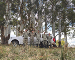
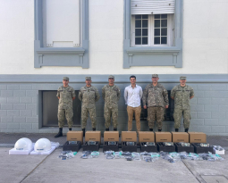
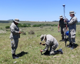
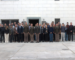
PRIMERA JORNADA DE CARTOGRAFIA

By admin
Posted 15 October, 2013
In Noticias
  0
0

PRIMERA JORNADA DE CARTOGRAFIA

[Mostrar presentación de diapositivas]

admin
Recent Posts
  • PROYECTO MARCO DE REFERENCIA INTERNACIONAL DE LA ALTURAS – SIRGASPROYECTO MARCO DE REFERENCIA INTERNACIONAL DE LA ALTURAS – SIRGAS
  • Convocatoria PAT 2024 – 2025Convocatoria PAT 2024 – 2025
  • JORNADAS DE IPGH 2024JORNADAS DE IPGH 2024
  • CAMPAÑA ANTÁRTICA 2024CAMPAÑA ANTÁRTICA 2024
Mapa de sitio
  • Límites con Argentina
  • Límites con Brasil
  • Capacitación
  • Visaciones
  • Productos
  • Contáctenos
Noticias
  • Historial de noticias
Laboratorio
  • LatinGEO
Productos
  • Como comprar
  • Preguntas frecuentes
Copyright All Rights Reserved © 2022 - Aviso Legal
Contact Us

We're not around right now. But you can send us an email and we'll get back to you, asap.

Not readable? Change text. captcha txt
Dia del Patrimonio
SIRGAS 2013
  • Inicio
  • Institución
    • Misión y Visión
    • Autoridades
    • Organización
    • Historia
    • Marco Jurídico
    • Contáctenos
  • Información territorial
    • Límites con Brasil
    • Límites con Argentina
    • Puntos extremos
    • Situación Geográfica
    • División Política
  • Productos
  • Servicios
    • Geoportal
    • Visaciones
    • Capacitación
    • Mapas antiguos
    • Documentos
  • Enlaces